13-23 May 2015... Up Long Island and Over to Conception Island

Thompson Bay is a big cruiser hangout 'in season' but since this wasn't, it wasn't. A handful of boats anchored out. With a long to-do list, we just wanted to run through chores. We met some folks who clued us in on the essentials, like which grocery store was still open, where to get Internet, where to dispose of trash, etc. Biggest disappointment was that there was nowhere in town to do laundry -- good thing bathing suits was the prevailing wardrobe choice for the month in the Raggeds. Re-stocked and re-fueled, we were ready to launch to the next uninhabited place -- Conception Island. We left Thompson Bay and sailed up the west side of Long Island on the banks to Simms, about halfway to the northern tip. Waited for a good sailing day to go east. For those of you familiar with the Bahamas banks, you will recognize these clouds. Everything reflects the blue-green waters, and from miles away, you can see these green clouds and know that shallow waters are close by.


After one false start, we finally got a good sailing day to Conception. A Bahamas National Park and Nature Preserve, it is yet another absolutely stunning place.


After almost anchoring on top of a huge stingray, the next thing we noticed was that the tropicbirds were abundant here, and they were out all day. We finally saw where they went when not flying. They nest in the rocks on the beach, disappearing inside the smallest crevices.


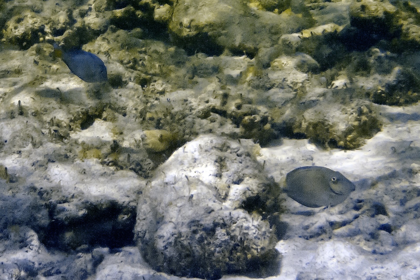
We spent a day kayaking down the island and into the interior lagoons and mangrove creeks, seeing a few turtles, sharks, very noisy oystercatchers, and a whole posse of baby barracuda. One day we snorkeled the reef at the north end of the anchorage and around the corner on the ocean side. (Good exercise, that, swimming against the current.) While the coral was somewhat broken and overgrown with algae, there were fish to follow. Lots of the fish were big, including at least one massive white margate. Also got up close and personal with smaller margates.


Patti saw a huge, maybe 2 foot Nassau Grouper, that was pretty skittish and wouldn't pose for a photo, but John captured other inhabitants, including a gorgeous parrotfish that was shy but curious. Enjoy the photos!


Thompson Bay, Long Island: 23d21.472'N 75d08.432'W
Simms, Long Island: 23d28.788'N 75d14.610'W
Conception Island: 23d50.994'N 75d07.216'W


8-13 May 2015... Up the Ragged - Jumentos Islands Chain

Retracing our steps, we sailed first to Johnson Cay -- maybe our favorite place in the Bahamas (or as the radio ad says -- Baha-mazing!) Another chance to snorkel the beautiful reef right there in the cove. But on we must go, so we continued to Buena Vista and Water Cays, and didn't even get off the boat. Just slept and moved on. Then timed our approach with the tides to the Comer Channel, popping out off the banks and into the wind, throttled up the engine for the last 10 miles into Thompson Bay, Long Island.


Johnson Cay: 22d20.223'N 75d46.818'W
Buena Vista Cay: 22d25.859'N 75d50.048'W
Water Cay: 23d00.794'N 75d43.596'W


2-8 May 2015... Hog Cay

The cold front finally passed through and the wind was clocking back to something east. We used the opportunity to move south to Hog Cay. Then the really horrendous weather came -- high winds and nonstop rain, squalls, thunderstorms for over 48 hours as the front regressed through the southern Bahamas. We were confined to boat. That wasn't so much fun, but boy, did the deck ever get clean! There is not one ounce of salt left anywhere on the topside of Anhinga. First day we were able to get off, we dinghyed to the beach to start exploring. And who greeted us? Three goats! Right on the beach. Still have no idea how the goats got onto all these islands or whether anyone owns them. We dinghyed over to Duncan Town on Ragged Island -- got internet at the BTC office. Not much else in town -- saw more goats than people. Back at Hog we walked some of the trails, then craving fresh vegetables, we decided it was time to head north, back to civilization.

Hog Cay: 22d14.479'N 75d45.232'W


17 April - 2 May 2015... The Ragged Islands

A short daysail took us from the Jumentos to the Raggeds -- an island chain closer to Cuba than any major island in the Bahamas. Stopped at Racoon Cay, a long island with high hills. The vegetation on this island was impenetrable, so hiking was only along the beach. We kayaked a bit to scope out the snorkeling, but the days we were there it was too rough. In four days we only saw two boats headed north. Nobody stopped here. We were really on our own. We did hear goats on the island, but never spotted any. Saw new shotgun shells on the sand. Hmmm. Decided to move on...


After a recon run by dinghy, pulled around the corner to the prettiest little islet -- Johnson Cay -- our own private island. We staked out the middle of the cove and plunked down the anchor. Gorgeous place -- beautiful sand beach, rugged rocks, lots of green. Where does the fresh water come from to support all this green? It hadn't rained since the last cold front -- a month? Soon got the rhythm of the place, active in the morning, running for shade in the hot afternoons. The other inhabitants here, the goats, go out in late afternoon to munch shrubs. Seen at least 5... and 2 skeletons.


Lots of snorkeling -- could just swim from the boat. Figured out the tides so we could get up close to the corals. Barracuda here, also a turtle and some rays. But the real beauty is in the smaller fish and the backdrop of the sea rods, elkhorn, and brain corals. Took a short dinghy ride to the elkhorn coral rocks south of Johnson. Beautiful fan gardens, magnificent parrotfish, elkhorn stands.


All good things must end. Bad weather coming, so we moved to get north wind and swell protection. Once the wind moves north of west, the anchorage at Johnson gets really rolly. Took a spot a mile north between Racoon and Nairn Cays. Started our exploration -- there were coral heads everywhere, so we got into the water. Promptly got out three separate times -- chased out by a shark. Well, not literally, but when we saw the shark, we headed to the dinghy before he got interested in us. We kept trying, moving to different places, but he followed. Fourth time out, next day, he cruised by again. This time John got his portrait. Used all the books to identify him and could only come up with lemon shark, based on size (about 4-5 feet) and dorsal fins (same size). But the color was gray. Anyone have any other ideas about who was following us?


Racoon Cay, west side: 22d21.383'N 75d48.816'W
Johnson Cay: 22d20.245'N 75d46.806'W
Racoon Cay, south side: 22d20.986'N 75d47.887'W